Armenian pictures, 1977


We do not have to present Gábor Illés to our readers. Those who travel with us, know him well from the trips of río Wang, and those who only read us, from his fantastic photos regularly published in the reports “Together in…”, following our trips (collected here). This is his first independent post here in río Wang, which proves that thirty-eight years ago he was just as good photographer. Historical pictures from a former province of a vanished empire.

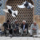
In a 2013 post (Armenia – stops, movement, colors), Catherine painted a rather depressing picture of the current state of affairs in Armenia. Above all, of the “cities of the valleys”, sacrificed to 19th-century industrialization, and definitively marginalized by Communism and Stalinism of the 20th century. She contrasts them with the “hills overlooking the valleys”, where villages and churches lived back then, and “opened doors to the passer-by, the traveler, the wanderer.”

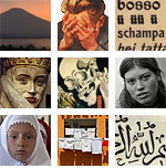
And, in spite of this, to have a positive final word, she closes her post with the photo (from around 1910) of a young Armenian woman in festive dress, standing in fresh springtime surroundings, with this phrase: ”Spring will certainly come soon.”

I cannot argue with her.

Either with the diagnosis, or with the fact that there is always hope.

I am grateful to fate, that in 1977 I could spend a long month in Armenia. The occasion was offered by a youth exchange camp, common among the countries of the Socialist block. By now I have managed to digitize most of the three hundred color slides taken then, and it is with great pleasure that I entrust to the host of this blog the composition of them into a photo post.

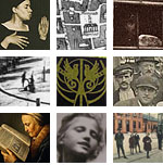
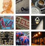
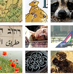
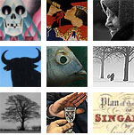
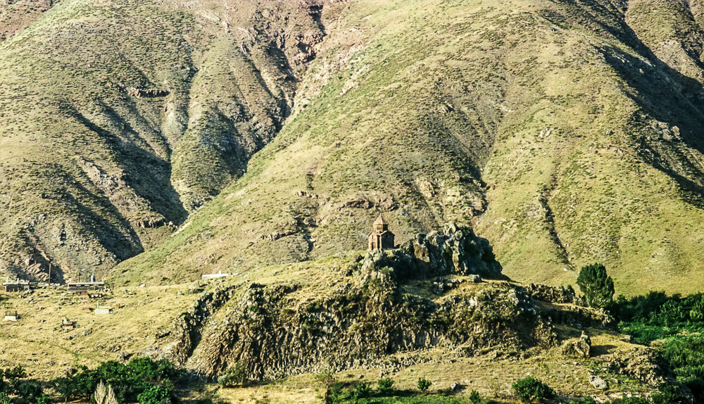
I feel like my photos, taken 38 years ago, support Catherine’s article. The vast majority of them represent the monasteries standing for centuries, or more than a thousand of years in the highlands, the incredibly elaborate cross-stones, and the beautiful Armenian scenery. And it’s no accident that almost no city (no modern city) pops up among them. If it does, it is rather for the sake of contrast (a deterrent example).

None of us had any plan for what to see in this country. At that time, you know, there was no internet, no Lonely Planet. To tell the truth, we should have not even expected to travel. We were young, we had almost no money, and in terms of the Soviet laws of those times we should have not even go into the countryside without a special permit. It turned out that there, hitchhiking worked very well, and that there was virtually no control. From Sevan (our town) and Yerevan we could reach any point of the country, and even Tbilisi, in Georgia!

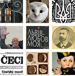
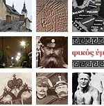
Regarding the targets, we relied – apart of our instincts and, of course, good luck – on the postcards bought there, in which fantastic historic churches lured us on to more and more adventures. Over time, a poster entitled “Illustrated Guide-Map of Historical Architectural Monuments of Soviet Armenia”, became our Bible, which roughly showed the approximate location of the most important monuments.

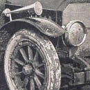
As for the photos, I only had a 50 mm kit lense to my Practica Super TL, and the raw material was limited to 7 or 8 rolls of Orwo (East Germany) slide film.

Many photos would of course require a story, but now let the pictures speak for themselves.

Gábor

Hasmik Harutyunyan: Nazani. From the album Armenia Anthology.

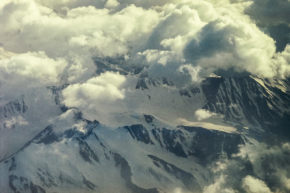
The peaks of the Caucasus from the plane Kiev-Yerevan

arm1 arm1 arm1 arm1 arm1 arm1 arm1 arm1 arm1 arm1 arm1 arm1 arm1 arm1 arm1 arm1 arm1 arm1 arm1 arm1 arm1 arm1 arm1 arm1

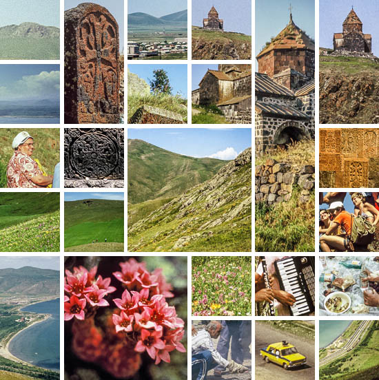
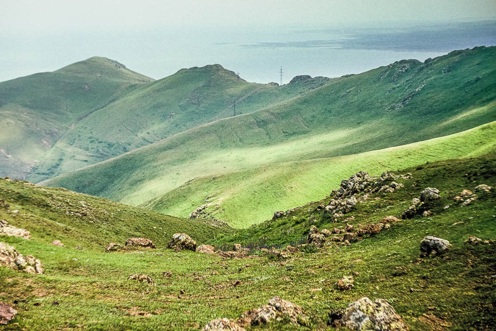
Across the mountains, to the north of Sevan

arm2 arm2 arm2 arm2 arm2 arm2 arm2 arm2 arm2 arm2 arm2 arm2 arm2 arm2 arm2 arm2 arm2 arm2 arm2 arm2 arm2 arm2 arm2 arm2 arm2 arm2


arm3 arm3 arm3 arm3 arm3 arm3 arm3 arm3 arm3 arm3 arm3 arm3 arm3 arm3 arm3 arm3 arm3 arm3 arm3 arm3 arm3 arm3 arm3


arm4 arm4 arm4 arm4 arm4 arm4 arm4 arm4 arm4 arm4 arm4 arm4 arm4 arm4 arm4 arm4 arm4 arm4 arm4 arm4 arm4 arm4 arm4 arm4 arm4 arm4 arm4 arm4 arm4

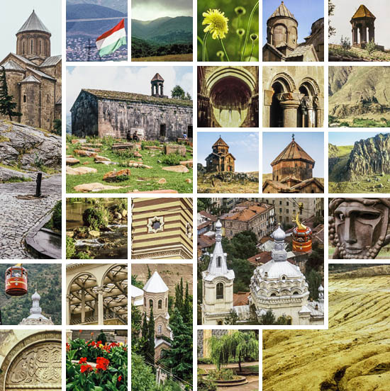
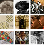
Hovhannavank (see also here and here)

arm5 arm5 arm5 arm5 arm5 arm5 arm5 arm5 arm5 arm5 arm5 arm5 arm5 arm5 arm5 arm5 arm5 arm5 arm5 arm5 arm5 arm5 arm5 arm5 arm5 arm5 arm5 arm5 arm5

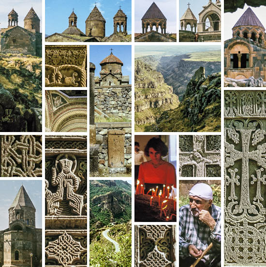
Landscape near Geghard
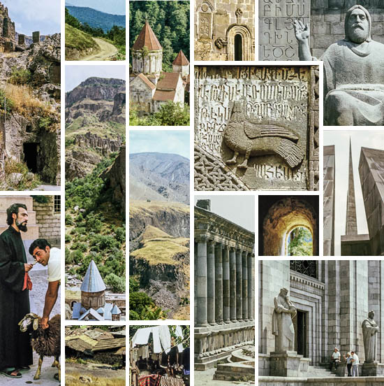
arm6 arm6 arm6 arm6 arm6 arm6 arm6 arm6 arm6 arm6 arm6 arm6 arm6 arm6 arm6 arm6 arm6 arm6 arm6 arm6 arm6 arm6 arm6 arm6 arm6 arm6 arm6 arm6 arm6 arm6 arm6 arm6 arm6


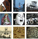
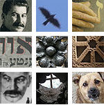
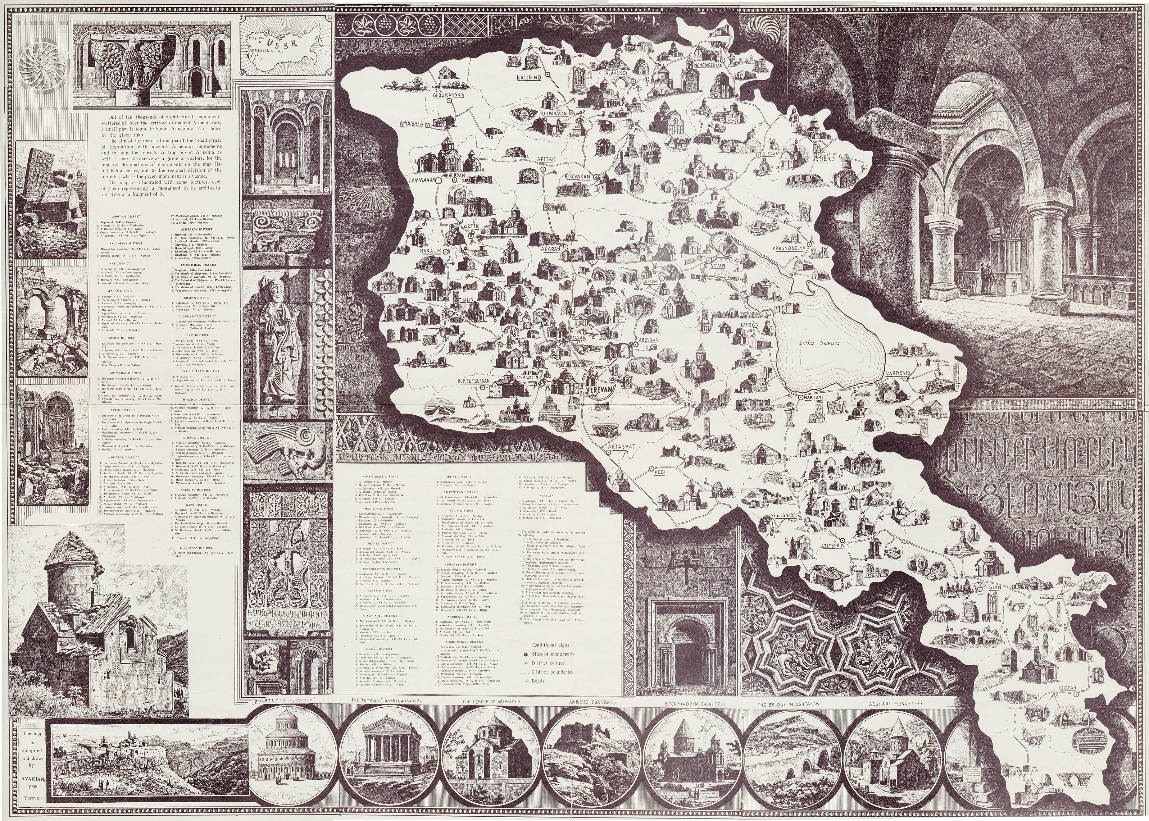
Map of Armenian monasteries with Armenian and English text
Below: The photographed monasteries on the modern map


Imágenes de Armenia, 1977


No hace falta que presentemos a Gábor Illés a los lectores de Poemas del río Wang. Quienes viajan con nosotros le han tratado durante nuestros recorridos. Quienes solo nos leen habrán visto sus fantásticas fotos regularmente en los reportajes «Juntos en…» que concluyen las excursiones (recogidos aquí). Este es su primer post individual aquí, con el que nos demuestra lo buen fotógrafo que ya era hace treinta y ocho años. Imágenes históricas de una antigua provincia de un imperio desaparecido.

En un post de 2013 (Armenia – stops, movement, colors), Catherine pintó un panorama bastante sombrío del actual estado de cosas en Armenia. Sobre todo en las «ciudades de los valles», sacrificadas a la industrialización decimonónica, y marginadas definitivamente por el comunismo y el estalinismo en el siglo XX. Las oponía a las «colinas que dominan los valles», donde pueblos y templos vivían en un estado anterior de «puertas abiertas para el paseante, el viajero, el vagabundo».

Pero, con todo, para dejar una última palabra positiva, cerraba aquel post con la foto (de hacia 1910) de una joven mujer armenia en traje de fiesta, rodeada por el ambiente fresco de la primavera. Y esta frase: «La primavera sin duda vendrá pronto».

No puedo rebatírselo.

Ni el diagnóstico, ni el hecho de que siempre hay esperanza.

Agradezco al destino que en 1977 pudiera yo pasar un largo mes en Armenia. La ocasión me la brindó un campamento de intercambio de jóvenes, habitual entre los países del bloque socialista. Ya he conseguido digitalizar la mayor parte de las trescientas diapositivas en color que tomé, y me encomiendo ahora con gran placer a la hospitalidad de este blog para su composición en un post.

Veo mis fotos, tomadas hace 38 años, como un refuerzo del post de Catherine. En su gran mayoría representan a esos monasterios firmes durante siglos, o por más de mil de años, en las tierras altas, aquellas increíblemente elaboradas cruces de piedra y el hermoso paisaje armenio. Y no es casualidad que casi ninguna ciudad (ninguna ciudad moderna) aparezca entre ellas. Si lo hace, es más bien a modo de contraste (una especie de ejemplo disuasorio).

Ninguno de nosotros tenía ningún plan acerca de qué había que ver en el país. En aquel momento –imaginad– no había Internet ni Lonely Planet. A decir verdad, ni siquiera habíamos esperado realizar aquel viaje. Éramos jóvenes y apenas teníamos dinero, y según las leyes soviéticas de la época ni siquiera podíamos ir al campamento sin autorización especial. Al final resultó que nada era así. El autostop funcionó muy bien y no tuvimos prácticamente ningún control. Desde Sevan (nuestra ciudad) y Yerevan pudimos llegar a cualquier punto del país, incluso a Tbilisi, en Georgia (!).

En cuanto a los objetivos, nos fiamos –aparte de a nuestros instintos y, por supuesto, a la buena fortuna– de las postales compradas allí mismo, donde las vistas de unas fantásticas iglesias cargadas de historia nos llevaban a buscar y aventurarnos más. Algo después, un p´ster con el título «Mapa-Guía ilustrado de los monumentos arquitectónicos históricos de la Armenia soviética», que mostraba  la ubicación aproximada de los monumentos más importantes, se convirtió en nuestra Biblia.

En cuanto a las fotos, sólo contaba con una lente de 50 mm para mi Practica Super TL, y disponía tan solo de 7 u 8 rollos de diapositivas Orwo (de Alemania del Este).

Muchas de estas fotos, por supuesto, tienen su historia. Pero por ahora dejemos que la imagen hable por sí sola.

Gábor

Hasmik Harutyunyan: Nazani. Del álbum Armenia Anthology.

Los picos del Cáucaso desde el avión Kiev-Yerevan

arm1 arm1 arm1 arm1 arm1 arm1 arm1 arm1 arm1 arm1 arm1 arm1 arm1 arm1 arm1 arm1 arm1 arm1 arm1 arm1 arm1 arm1 arm1 arm1

Cruzando las montañas, al norte de Sevan

arm2 arm2 arm2 arm2 arm2 arm2 arm2 arm2 arm2 arm2 arm2 arm2 arm2 arm2 arm2 arm2 arm2 arm2 arm2 arm2 arm2 arm2 arm2 arm2 arm2 arm2


arm3 arm3 arm3 arm3 arm3 arm3 arm3 arm3 arm3 arm3 arm3 arm3 arm3 arm3 arm3 arm3 arm3 arm3 arm3 arm3 arm3 arm3 arm3


arm4 arm4 arm4 arm4 arm4 arm4 arm4 arm4 arm4 arm4 arm4 arm4 arm4 arm4 arm4 arm4 arm4 arm4 arm4 arm4 arm4 arm4 arm4 arm4 arm4 arm4 arm4 arm4 arm4

Hovhannavank (ver también aquí y aquí)

arm5 arm5 arm5 arm5 arm5 arm5 arm5 arm5 arm5 arm5 arm5 arm5 arm5 arm5 arm5 arm5 arm5 arm5 arm5 arm5 arm5 arm5 arm5 arm5 arm5 arm5 arm5 arm5 arm5

Paisaje cerca de Geghard

arm6 arm6 arm6 arm6 arm6 arm6 arm6 arm6 arm6 arm6 arm6 arm6 arm6 arm6 arm6 arm6 arm6 arm6 arm6 arm6 arm6 arm6 arm6 arm6 arm6 arm6 arm6 arm6 arm6 arm6 arm6 arm6 arm6


Mapa de los monasterios armenios, con texto en armenio e inglés.
Abajo: Los monasterios de las fotos en un mapa actual